It is amazing that as soon as the school holidays start, the summer goes downhill. This has been the case more than often in the last 20 years. The summer was on course to be a record till the last week of July and continued getting cooler through the rest of August. Although if you were up north summer never really started.
August has been a below average month for the first month since last year. It mostly didn’t feel summery with only a couple of days with over 25c here in Watford.
It has been a month with lots of low pressure near the west of the UK and we lost the influence of the heat from Europe. At the start of August just across the channel it was near record breaking temperatures of near 40c!!
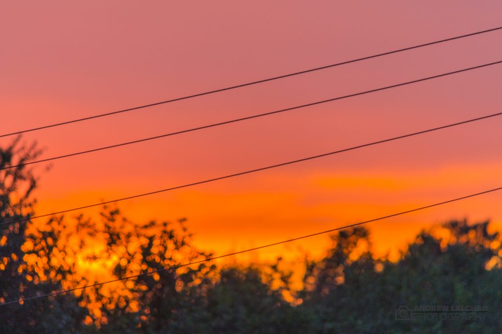
UK Stats
Here are some statistics around the UK, the CET ended up at 15.6c which was 0.2 below the long term average. 28.9c was the UK’s highest temperature in Jersey on the 30th. Coldest temperature recorded was 1.9c on 6th at Kinbrace, Sutherland. The August bank holiday was the hottest since records began, it reached 28.2c at Holbeach beating the previous record in 1984.
The rainfall was slightly above average in England & Wales, average in Scotland and above average in Northern Ireland. Sunshine was around average over the UK but duller towards the west coast where the low pressure systems tracked between Scotland & Iceland.
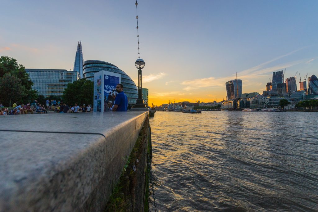
Watford Stats
The highest temperature I recorded this month was 28.5c on 27th (bank holiday weekend). The coldest night was on the 30th where it got down to 6.6c as a cold front came down across the country a few hours before. Its been quite wet although a lot of the rain fell only on a few days. You can find out more about the weather and my weather station here.
Summer 2017
Overall the summer has been great in the south, it has been much warmer than average even despite a cooler August. June was a scorcher with a max temperature of 34c and the CET 1.9c above average. In July the heat continued with 32c being the highest and a CET of 0.7c above the long term average. In the north it has been much cooler with not a lot of sunny settled weather, one to forget if you live there. The south had a big influence from the continent with southerly winds sucking up the heat this waned in August.

Looking ahead to September
Looking forward to the rest of September, it is looking unsettled at the beginning and there are signs that the warmth will return around the 2nd / 3rd week. There will be quite a few spells of rain over the next week but the mild nights should keep the night-time temperatures up. A significant factor this month is that in the last couple of weeks the hurricane season in the Atlantic has intensified. These storms could affect our weather pumping heat up from the Azores.
Watford Stats – Summary for August 2017
Temperature (°C):
Mean (1 minute) 16.8
Mean (min+max) 17.7
Mean Minimum 12.2
Mean Maximum 23.3
Minimum 6.6 day 30
Maximum 28.5 day 27
Highest Minimum 15.7 day 11
Lowest Maximum 14.7 day 30
Air frosts 0
Rainfall (mm):
Total for month 53.4
Wettest day 15.0 day 09
High rain rate 25.2 day 09
Rain days 12
Dry days 18
Wind (mph):
Highest Gust 13.0 day 03
Average Speed 0.6
Wind Run 398.7 miles
Gale days 0
Pressure (mb):
Maximum 1033.9 day 20
Minimum 1013.0 day 02
Thanks for reading, feel free to comment below on how summer 2017 was for you in your area.
Links
Met Office – https://www.metoffice.gov.uk/hadobs/hadcet/cet_info_mean.html
Real time Watford Weather – https://weather.andrewlalchan.co.uk/
Flickr – httpss://www.flickr.com/photos/alalchan
Weather Outlook – httpss://www.theweatheroutlook.com/twocommunity/
July 2017 – https://blog.andrewlalchan.co.uk/watford-weather-july-2017/


