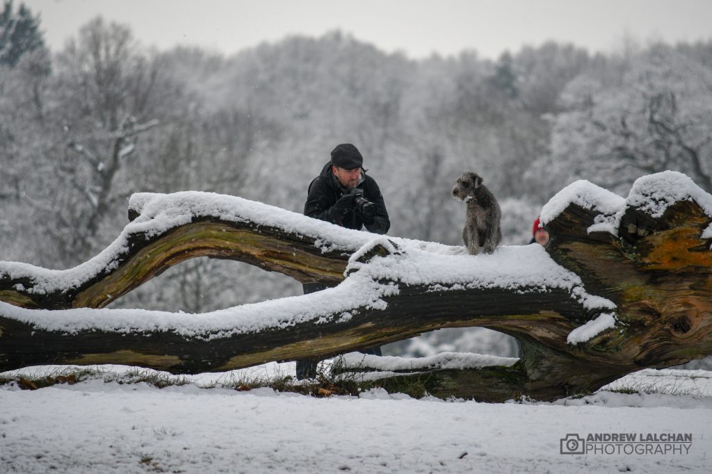
This is definitely a month/winter of two halves, the first half being very warm which peaked at 5.7c CET on the 17th then the rest of the month was well below average. The final CET finished on 4.0c just 0.1c above the long term average. Arctic air plunged down the country on the 16th giving our first hard frost of the winter. It has been especially snowy with lots of places in the UK getting a covering by the end of the month. Find out more about the snowfall in Watford on the 22nd where I had my first photograph appearing on the BBC Weather.

UK Stats
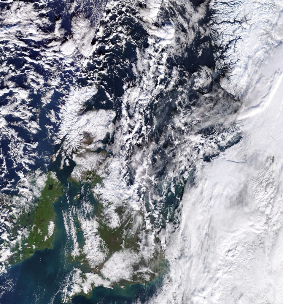
I will start with the snow this month as this was one of the most noteworthy events across the country. The highest snowfall occurred at Malham Tarn (North Yorkshire) on the 23rd with 16cm. But there have been other places at the end of the month which possibly got around 25cm+ in the Bath and Basingstoke area, these haven’t been verified by the Met Office. They will be included once they are.
The highest rainfall occurred on the 13th at Achnagart (Ross & Cromarty) with 72.3mm. A maximum temperature of 14.2 °C was recorded at Slapton (Devon) on the 25th. A minimum temperature of -14.3 °C was recorded at Braemar (Aberdeenshire) on the 31st.
All four countries in the UK on the 31st set new records for this winter, with Sennybridge in Powys, Wales, dropping to -9.3C (15.3F), Katesbridge in Northern Ireland falling to -8.2C (17.2F) and Redesdale Camp in Northumberland recording a temperature of -10.4C (13.3F).
On the 27th the highest gust of wind for the month was recorded at Berry Head (Devon) with 82mph.
Watford Stats
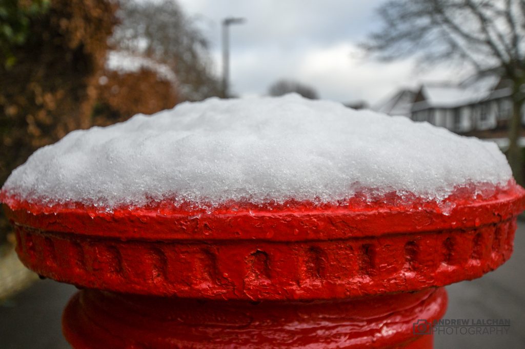
The first part of the month was quite warm and here in Watford, it got colder after the halfway point in the month, the last 10 days being particularly snowy. This was even more snow than last winter and looks like it will be the snowiest winter in terms of depth since 2013. During the month snow fell on 9 days and there were 7 days with snow laying on the ground at 9am. We also had our coldest temperature since 2014 with -5.8c on the 30th. Nearly half the month had a frost which hasn’t happened since 2010. For rainfall, it has been a dry month with only, 21mm falling which is a lot below average, there were 19 dry days. The highest temperature of the month was on the 12th with 13c.
- A dusting of snow on 21st, first fall of the winter
- 2nd fall of snow on 22nd, 8cm with snow laying for 24 hours
- 3rd fall of snow on 29th, 2cm
- 4th fall of snow on 31st, 11cm

Looking ahead to February
February will start on a cold note and then gradually get warmer with lots of rain in the first week with winds from the SW. Longer term it is looking like high pressure will become more dominant. There is also a possibility of more easterly winds, the likely hood of a repeat of the Beast from the East is a low risk.
Summary for January 2019 in Watford
Temperature (°C):
Mean (1 minute) 4.1
Mean (min+max) 4.1
Mean Minimum 0.9
Mean Maximum 7.4
Minimum -5.8 day 30
Maximum 13.0 day 25
Highest Minimum 8.3 day 12
Lowest Maximum 3.8 day 23
Air frosts 13
Rainfall (mm):
Total for month 21.0
Wettest day 4.2 day 26
High rain rate 7.2 day 12
Rain days 12
Dry days 19
Wind (mph):
Highest Gust 22.1 day 13
Average Speed 1.2
Wind Run 864.5 miles
Gale days 0
Pressure (mb):
Maximum 1037.2 day 02
Minimum 976.2 day 31
Days with snow falling 9
Days with snow lying at 0900 7
More weather photos can be found on the Flickr link below, leave a comment about the weather. Do you hate or love snow?
Links
Met Office – https://www.metoffice.gov.uk/hadobs/hadcet/cet_info_mean.html
Met Office Summary – https://www.metoffice.gov.uk/climate/uk/summaries/2018/december
Real-time Watford Weather – https://weather.andrewlalchan.co.uk/
Flickr – https://www.flickr.com/photos/alalchan
Weather Outlook – https://www.theweatheroutlook.com/twocommunity/
December – https://blog.andrewlalchan.co.uk/watford-weather-december-statistics/


