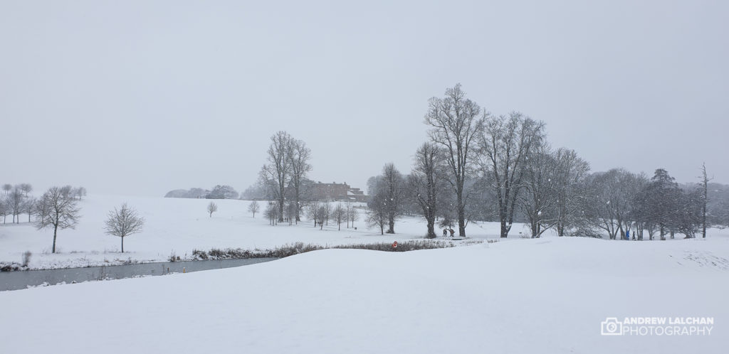
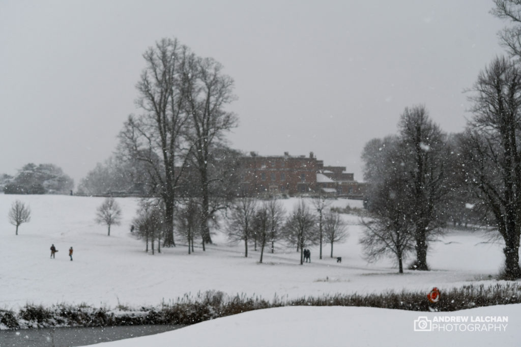
A cold start to the month across the UK with snow in places and mid-month storm Christoph brought about lots of rain to central England. A lot of rivers broke their banks and there were quite a few severe flood warnings. Some in places that rarely had them like for instance around Bedford and Manchester. The last 3rd of the month the cold returned with lots of snow in places. It was a very snowy month in Scotland and the cold never left.
The CET (Central England Temperature) came out at 3.1c which was -0.7c a below-average month. Big difference from last January with the near-record warmth. For those who don’t know the CET is the world longest weather series going back to 1659.
UK Stats
On the 28th 14.2 °C was recorded as the maximum temperature at Pershore College (Hereford & Worcester). The Minimum temperatures of -13.0 °C were recorded on the 9th at Dawyck Botanic Garden (Peeblesshire). It was also recorded at Braemar (Aberdeenshire) on the 31st. On the 20th at Honister Pass (Cumbria) 132.8 mm of rain was recorded in 24 hours period ending at 0900. On the 15th wind gusts of 69 mph were recorded at South Uist (Western Isles) and at Marham (Norfolk) on the 21st. On the 25th a snow depth of 32 cm was recorded at Trassey Slievenaman (County Down).
Watford Stats
The highest temperature in January was 12.7c on the 28th with the lowest -3c on the 23rd. We finally got a decent amount of frosts for a winter month since 2018, there were 13 air frosts (below 0c). The coldest day occurred on the 8th when it only got to 1.8c.
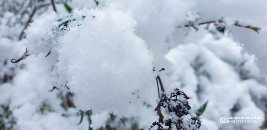
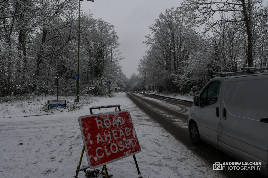
It was a wet month with 57.3mm falling, rain fell on 21 days. Snow fell on 6 days with it lasting on the ground for 3 days. The measurement occurs at 9am, if the snow is laying then it is counted. The last 3 weekends of the month snow has fallen on either Saturday or Sunday. On the 24th the heaviest snow fell since 2018 with 7.5cm falling within 3 hours in the morning. You can see the snowfall here on a blog post.
Around the world in January
A snowstorm hit Madrid in Spain on the 8th killing 3 people and dumping over 50cm of snow across the area. It was the worst snowstorm for 50 years.
Read more here
Looking ahead to February
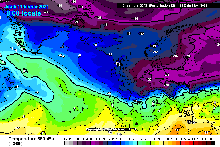
The first half of February is looking very cold after the first few days which are average temperature-wise. It could be one of the coldest spells since 2018 or even 2010. The computer models are pointing to a Beast from the East with sub-zero temperatures and plenty of snow. As usual for the UK the places that get snow would need to be determined near the time.
Summary for January 2021 in Watford
Temperature (°C):
Mean (1 minute) 4.0
Mean (min+max) 4.0
Mean Minimum 1.2
Mean Maximum 6.8
Minimum -3.0 on 23/01/2021
Maximum 12.7 on 28/01/2021
Highest Minimum 9.6 on 19/01/2021
Lowest Maximum 1.8 on 08/01/2021
Air frosts 13
Rainfall (mm):
Total for period 57.3
Wettest day 12.0 on 27/01/2021
High rain rate 7.2 day 27/01/2021
Rain days 21
Dry days 10
Wind (mph):
Highest Gust 18.3 on 20/01/2021
Average Speed 0.9
Wind Run 659.7 miles
Gale days 0
Pressure (mb):
Maximum 1024.8 on 15/01/2021
Minimum 966.1 on 20/01/2021
Days with snow falling 6
Days with snow lying at 0900 3
Links
Met Office – https://www.metoffice.gov.uk/hadobs/hadcet/cet_info_mean.html
Met Office Summary – https://www.metoffice.gov.uk/climate/uk/summaries
Real-time Watford Weather – https://weather.andrewlalchan.co.uk/
Flickr Winter Photos – https://www.flickr.com/photos/alalchan/albums/72157717256371497
Weather Outlook – https://www.theweatheroutlook.com/twocommunity/
December – https://blog.andrewlalchan.co.uk/watford-weather-in-december/


