It was a month of 2 halves as the rain relented bringing an end to the deluge which started in September last year! The continuous low-pressure systems which crossed the Atlantic slowed down as the difference between the polar and Atlantic regions abated. This temperature difference shows up in the AO (Atlantic Oscillation) it fuels the jet stream which in turn brings lots more storms over the UK and NW Europe. The second half of the month high pressure nudged into the UK and has stuck around, bringing the drier weather.

The CET (Central England Temperature) carried on its above-average results with 6.7c which was 1c above the long term average. Less than the previous two months which had over 2c above average. The 2nd half of the month had warm days and cool nights.

Sunset on 15th March
UK Stats
On the 24th the maximum temperature of 19.4 °C was recorded at Rhyl (Clwyd) and on the 16th a minimum temperature of -7.6 °C was recorded at Aboyne (Aberdeenshire). On the 8th, 107.2 mm of rain fell at Skye Alltdearg House in a 24 hour period. A wind gust of 78 mph was recorded at Aberdaron (Gwynedd) on the 11th. On the 12th a snow depth of 13 cm was recorded at Tulloch Bridge (Inverness-shire).

Watford Stats
It has been a relatively warm month with above-average day time temperatures although it has been a cold end to the month. There weren’t many frosts during the month only five. After the deluge in the last few months, the rainfall was back down to average with only 39.9mm falling. Most of the rain fell at the beginning of the month. As the end of the month was quite dry, with 16 dry days. A maximum temperature of 18.7c occurred on the 24th with a minimum of -1.8c on the 31st. There were 5 frosts this month and at the end of the month, there were 3 days of snow falling as we had a blast from the north.

Looking ahead to April
The long-range forecasts for April look at continuing the high pressure dominated weather which started on the last third of March. The position of the high will depend on whether we will get lots of warm weather. This month is mostly looking like above-average temperatures continuing on how the year has gone so far.
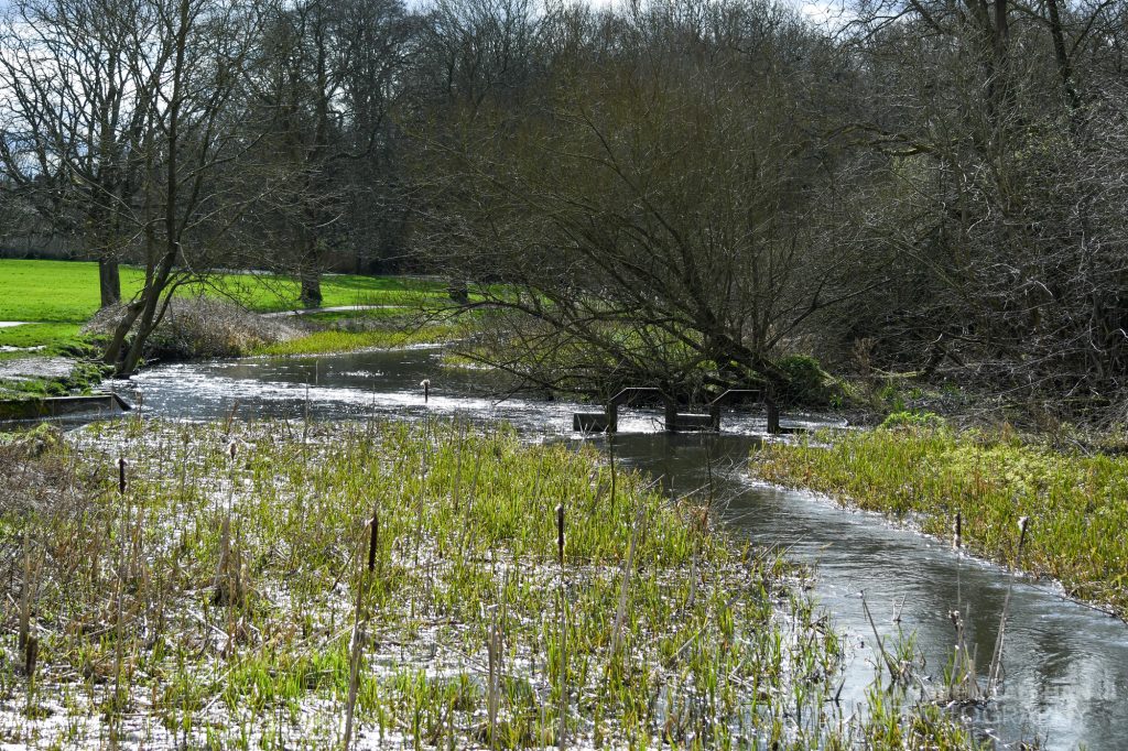
Summary for March 2020 in Watford
Temperature (°C):
Mean (1 minute) 7.0
Mean (min+max) 7.7
Mean Minimum 3.0
Mean Maximum 12.4
Minimum -1.8 day 31
Maximum 18.7 day 24
Highest Minimum 8.8 day 17
Lowest Maximum 5.6 day 05
Air frosts 5
Rainfall (mm):
Total for month 39.9
Wettest day 9.3 day 09
High rain rate 7.2 day 01
Rain days 15
Dry days 16
Wind (mph):
Highest Gust 19.7 day 10
Average Speed 1.4
Wind Run 1101.8 miles
Gale days 0
Pressure (mb):
Maximum 1033.2 day 29
Minimum 977.3 day 01
Days with snow falling 3
Days with snow lying at 0900 0

Links
Met Office – https://www.metoffice.gov.uk/hadobs/hadcet/cet_info_mean.html
Met Office Summary – https://www.metoffice.gov.uk/climate/uk/summaries
Real-time Watford Weather – https://weather.andrewlalchan.co.uk/
Flickr Spring Photos – https://www.flickr.com/photos/alalchan/albums/72157712704080908
Weather Outlook – https://www.theweatheroutlook.com/twocommunity/
February – https://blog.andrewlalchan.co.uk/weather-in-february-2020/


