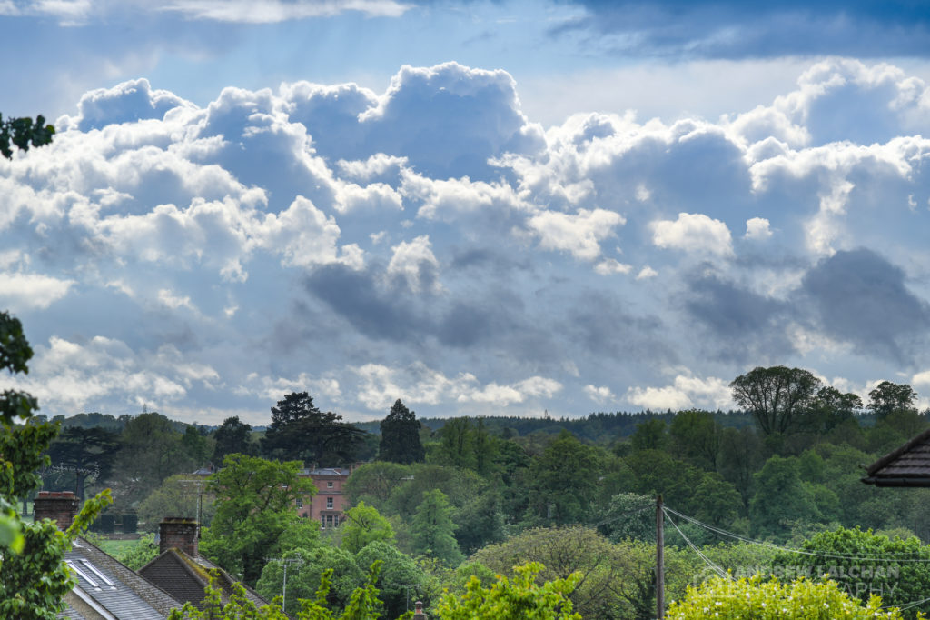
Its been a record month for sunshine across the UK which makes a change from the start of the year. April showers didn’t appear until the last two days of the month. With the country on lockdown, it has been so tempting to head for the beach, you just know when the lockdown finishes it will be constantly wet and windy weather. The Central England Temperature came out at 10.42c which was short of the warmest April on record by 0.8c. But it was still a very warm month with it being 2.5c above the long term average, it was the 3rd warmest April since 1667.

UK Stats
As mentioned above its been a high pressure dominated month with an abundance of dry weather and some areas hardly had any rain till the last few days of the month. On the 10th the maximum temperature of 26.0c was recorded at Treknow (Cornwall). -6.9c was the minimum temperature at Aboyne (Aberdeenshire) on the 19th. On the 18th, 38.4mm of rain was recorded in a 24 hour period ending at 0900 GMT, also 38.4 mm of rain fell at Portsea (Hampshire). A wind gust of 74 mph was recorded on the 5th at South Uist (Western Isles). On the 3rd a snow depth of 2 cm was recorded at Strathy East (Sutherland).
It was the sunniest April on record with 224.5 hours of sunshine, beating the previous record of 211.9 hours in April 2015. Over the UK it was also 1.7c above the longterm average. In the list of the top 10 warmest Aprils, there have been 6 in the top 10 that have occurred since 2003 which is remarkable and highlights the warming trend. The records go back to 1884 over the UK. Also, the first four months of this year has been the 3rd warmest period on record over the UK.
Watford Stats
One look at the figures and you would have thought the month was wet with 39mm, but the majority of the rain fell in just 3 days. Halfway through the month and there was only 0.4mm of rain had fallen! There were 24 dry days which was the opposite of January & February. In terms of temperatures, the maximum temperature was 25.2c on the 11th with the coldest being on the 14th with 0.6c. The wettest day was on the 17th with 10.5mm.

Looking ahead to May
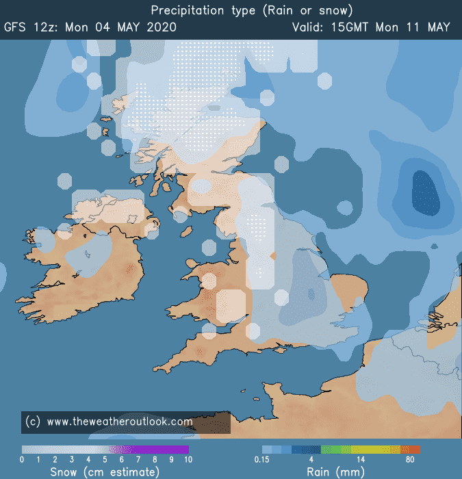
Early signs for the first two weeks of the month is that it should be high pressure dominated but the position of the high could mean we get northerly winds and very chilly nights. The rest of May is also looking unsettled with the rain coming back and a fair few northerly plunges which could bring some snow to parts of the UK.

Summary for April 2020 in Watford
Temperature (°C):
Mean (1 minute) 11.6
Mean (min+max) 12.3
Mean Minimum 5.6
Mean Maximum 19.1
Minimum 0.6 day 14
Maximum 25.2 day 11
Highest Minimum 10.5 day 05
Lowest Maximum 10.4 day 28
Air frosts 0
Rainfall (mm):
Total for month 39.0
Wettest day 10.5 day 17
High rain rate 21.6 day 17
Rain days 6
Dry days 24
Wind (mph):
Highest Gust 13.6 day 20
Average Speed 0.6
Wind Run 405.8 miles
Gale days 0
Pressure (mb):
Maximum 1024.4 day 06
Minimum 985.2 day 30
Days with snow falling 0
Days with snow lying at 0900 0

Lots more spring photographs can be found on the Flickr link below, leave a comment below if took any interesting weather-related photographs in spring.
Links
Met Office – https://www.metoffice.gov.uk/hadobs/hadcet/cet_info_mean.html
Met Office Summary – https://www.metoffice.gov.uk/climate/uk/summaries
Real-time Watford Weather – https://weather.andrewlalchan.co.uk/
Flickr Spring Photos – https://www.flickr.com/photos/alalchan/albums/72157713458370042
Weather Outlook – https://www.theweatheroutlook.com/twocommunity/
March – https://blog.andrewlalchan.co.uk/weather-in-march-2020/


