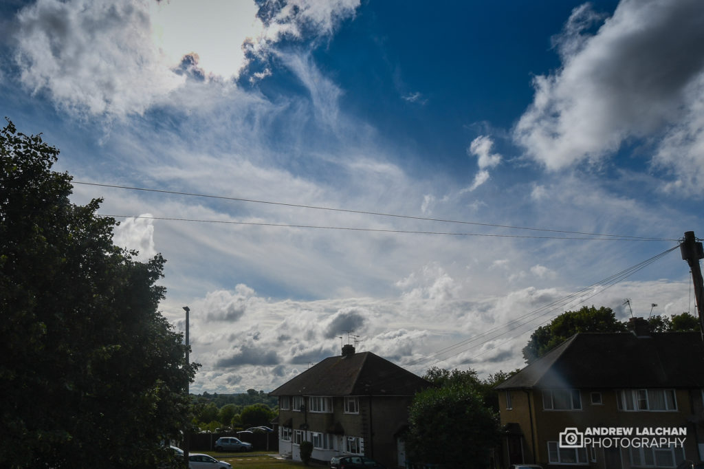
It’s not been a flaming June this year but it has been a warmer than average month. We had one intense heatwave which lasted for 3 days but the rest of the month has been average and sometimes cool. Here in Watford, it has been warmer than normal but we seemed to have missed all the heavy showers except for one day when over 30mm fell. Across England, the CET ended up at 15.3c which was 1.2c above the long term average, continuing the series this year of every month being above average.

UK Stats
It was a cool first week of June with northerly winds, constant low-pressure systems went just north of the UK bringing spells of heavy rain. This continued in the 3rd week in which there was a pulse of heat coming up from France & Spain. The temperature hit 30c plus across England mainly.
On the 25th 33.4 °C was recorded at Heathrow (London) which was the highest for the month. A minimum temperature of -1.9 °C was recorded at Tulloch Bridge (Inverness-shire) on the 8th. The wettest place was at Honister Pass (Cumbria) on the 29th with 212.8 mm of rain. The highest wind gust was at South Uist (Western Isles) and Magilligan (County Londonderry) with 64 mph on the 26th.
For the year to date, the highest annual mean CET ever recorded was 10.95, which is 1.44 higher than normal. To beat this record the anomaly must be higher than 1.03 for the remainder of this year. We are on course to beat this especially if July and August continue the trend.

Watford Stats
Its been a warm month in Watford with lots of usable weather especially if you are a gardener. The highest temperature occurred on the 25th with 33.2c and the lowest was 6.4c on the night of the 6th. There were 18 dry days with 62.1mm of rain falling which made it a wet month, though 30.6mm fell in one day on the 17th during thunderstorms. It has been a windy month with some days as windy as it would be in the autumn. The highest gust occurred on the 28th with 19.7mph.

Looking ahead to July
It’s not looking great for summer weather returning till the 2nd week to mid-month, it’s looking like a repeat of June where we had a cool first third of the month. Temperatures could be well below average just in time for the easing of lockdown.
Summary for June 2020 in Watford
Temperature (°C):
Mean (1 minute) 16.8
Mean (min+max) 17.6
Mean Minimum 11.8
Mean Maximum 23.4
Minimum 6.4 day 06
Maximum 33.2 day 25
Highest Minimum 17.1 day 25
Lowest Maximum 16.2 day 06
Air frosts 0
Rainfall (mm):
Total for month 62.1
Wettest day 30.6 day 17
High rain rate 54.0 day 16
Rain days 12
Dry days 18
Wind (mph):
Highest Gust 19.7 day 28
Average Speed 1.2
Wind Run 835.9 miles
Gale days 0
Pressure (mb):
Maximum 1020.2 day 22
Minimum 989.0 day 04

Lots more photographs from summer can be found on my Flickr link below.
Links
Met Office – https://www.metoffice.gov.uk/hadobs/hadcet/cet_info_mean.html
Met Office Summary – https://www.metoffice.gov.uk/climate/uk/summaries
Real-time Watford Weather – https://weather.andrewlalchan.co.uk/
Flickr Summer Photos – https://www.flickr.com/photos/alalchan/albums/72157714766359491
Weather Outlook – https://www.theweatheroutlook.com/twocommunity/
May – https://blog.andrewlalchan.co.uk/weather-in-may-2020/


